Waterfalls Hikes
McCloud Falls Hike
Classification: Moderate
Distance: 6.4 miles round trip
Highlights: Waterfall and seasonal colorful wildflowers
Location: Ward Creek trailhead reference Barker to Tahoe City
Access from: West Shore Lake Tahoe
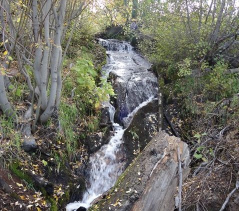
Description: From the trailhead, head north and follow an old US Forest Service road for the first mile which can be rocky at times but has little elevation climb. The trail follows along the snow-fed Ward Creek and meanders through forests of red fir, lodge pole and an occasional white pine. The floor of the canyon is filled with shrubs, including currant, bitterbrush, and manzanita plus colorful seasonal wildflowers- corn lilies, larkspur, snow flowers, tiger lilies, Indian paintbrush, cow parsnips, and lupine. The road turns into single track trail leading you to the Ward Creek Bridge. After the bridge crossing the trail becomes a moderate uphill climb on rocky stairs through stands of shady aspen and old growth pine. Gaps in the forest highlight views of Ward and Twin Peaks. Continuing on the trail you soon will hear the falls, a 30 ft. tall water fall. Enjoy the waterfalls and a rest before turning back around to the trailhead.
Van Sickle Bi-State Park Waterfall Hike
Classification: Easy
Distance: 2.5 miles round trip
Highlights: Spectacular Lake Tahoe views and a waterfall
Location: Van Sickle Bi-State Park trailhead reference Kingsbury South to Big Meadow
Access from: South Shore Lake Tahoe
Bikes Allowed: Yes
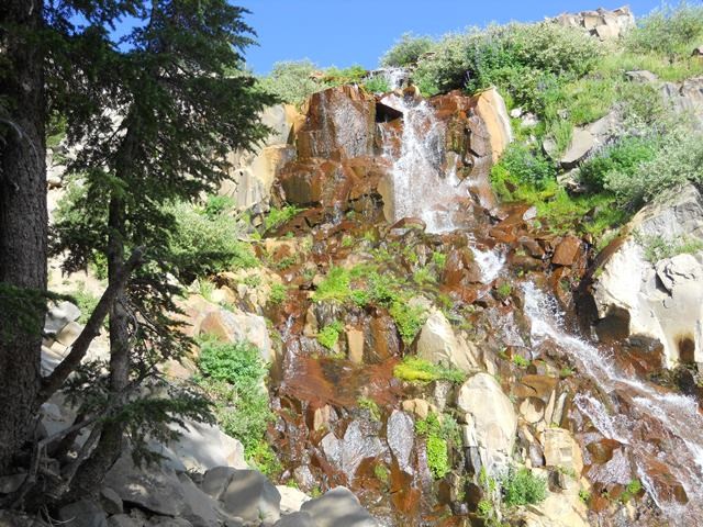
Description: Beginning at the Van Sickle Bi-State Park trailhead continue on the trail uphill. The trail is well marked with orange confidence markers indicating your route. After a short distance you will reach another trail junction; take a left (don’t follow signs for Saddle Rd.). The next .25 miles are steadily uphill with incredible views of the south shore and Lake Tahoe until you reach the waterfall. The stream below the cascading waterfall is crossed by a newly constructed bridge. Enjoy the views and rest before turning back around to the trailhead.
Galena Waterfall Hike
Classification: Moderate
Distance: 5.2 miles round trip (loop trail will increase mileage)
Highlights: Waterfall and loop ability (i.e. you will not see the same thing twice).
Location: Mount Rose Summit Trailhead
Access from: North Shore Lake Tahoe
Description: Beginning at the Mt. Rose trailhead you will climb gently up a sandy slope with picturesque views for about a mile. The landscape will become greener till you reach the waterfall. Enjoy the views and sites near the waterfall before returning the way you came. Optional: If you prefer to take the loop access after the falls, the trail splits: be sure to follow signs for the Tahoe Rim Trail which bears to the left and eventually joins an old forest service road. Follow this dirt road down the hill past lovely views of the lake. As you approach Highway 431, there is a connector trail that will bring you back to your starting location.


 Early Bird Bonus!
 Don’t wait—[