Peaks & Vistas
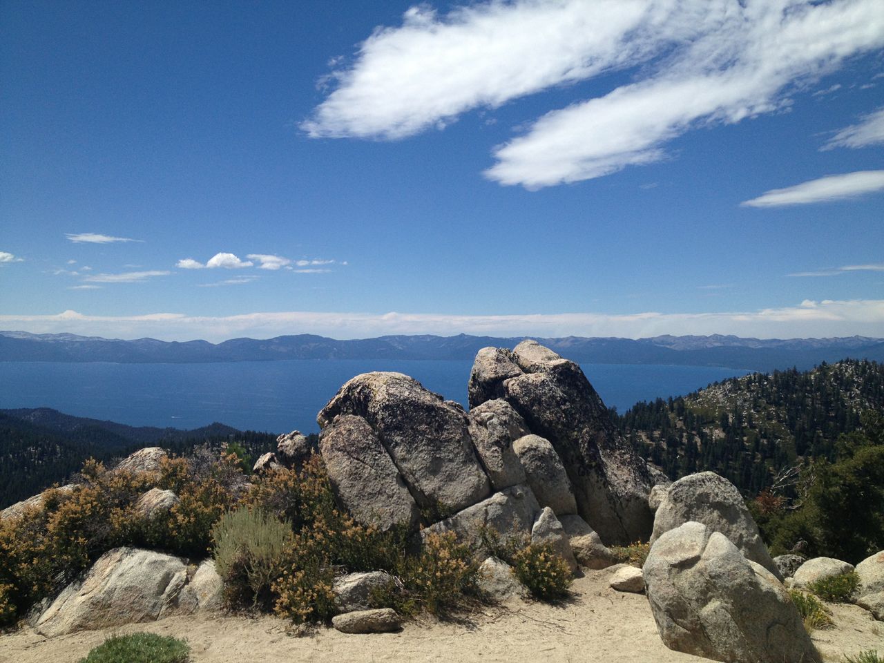
Picnic Rock Vista Hike
Classification: Easy
Distance: 3 miles round trip
Highlights: Beautiful wooded forests with 360 degree views of the Lake Tahoe Basin.
Location: Brockway Summit East trailhead
Access from: North Shore Lake Tahoe
Bikes Allowed: Yes
Description: From the Brockway Summit trailhead, the trail steadily ascends through thick forest with occasional views of Lake Tahoe. At 1.2 miles where a rock outcrop is situated turn left (follow signs for Vista). This is a scenic spur trail; commonly referred to as Picnic Rock (signage will not reflect this). The vista hails 360 degree views of Lake Tahoe and the Sierra crest including Castle Peak and the Sierra Buttes from a distance. After enjoying a rest break and the views head back down the trail and return to your car.
Snow Valley Peak Hike
Classification: Strenuous
Distance: 12.4 miles round trip
Highlights: Marlette Lake, gentle shaded uphill climbs, and panoramic views of Lake Tahoe.
Location: Spooner Summit North trailhead
Access from: East Shore Lake Tahoe
Bikes Allowed: No
Description: The trail rises steeply from the Spooner Summit North trailhead but soon becomes gentler, as you pass through a Jeffrey Pine forest. Continuing through the mostly shady forest, you will find occasional filtered views during the next several miles. At this point you will pass the trail for the North Canyon campground. The forest changes from white fir to red fir and the views turn east, towards Eagle Valley and Carson City. Your final climb is one mile on an exposed west-facing ridge with sagebrush, tobacco brush, plenty of granite boulders, and a few stunted whitebark pines. During this final mile you will finally be able to enjoy full open views of Lake Tahoe and Marlette Lake. Seeing these two lakes side by side is truly spectacular. This is a great spot to have lunch before turning around for the 6.2 miles return journey.
Relay Peak Hike
Classification: Strenuous
Distance: 10.1 miles round trip
Highlights: Enjoy vistas of Lake Tahoe and Tahoe Meadows from atop the highest point on the TRT.
Location: Mt. Rose trailhead
Access from: North Shore Lake Tahoe
Bikes Allowed: No
Description: Beginning at the Mt. Rose trailhead, you will climb gently up a sandy slope with picturesque views for about a mile. The landscape will become greener till you pass a splendid waterfall. Continue for 0.7 miles until you reach a trail junction be sure to follow signs for Relay Peak and do not follow the forest service road to the left. The trail tread will become rockier and continue uphill for 2 miles. Once you reach Relay Peak enjoy the panoramic 360 degree views before turning around to the trailhead.
South Camp Vista Hike (The Bench)
Classification: Moderate
Distance: 11.5 miles round trip
Highlights: Enjoy vistas of Lake Tahoe and the South Shore with views over 8000 ft.
Location: Spooner South trailhead
Access from: East Shore Lake Tahoe
Bikes Allowed: Yes
Description: From the trailhead you will ascend uphill on a moderate grade with scattered views of Lake Tahoe. After 1.3 miles the trail levels out and you have almost continuous views of the Lake. After reaching a large, kettle-like depression on the side of the trail, you will see an open rock-out crop at 1.9 miles with a great vista. The rocks you are standing on are part of the Alta Formation which left silver in Virginia City but just hard, dark rock here. Continuing on the trail cuts away from the lake for awhile, crosses a major dirt road, then climbs back to the west. At 5 miles you reach your destination at South Camp, where a beautiful wooden bench is positioned overlooking the meadow and Lake Tahoe. Enjoy the view before turning back around to the trailhead.

