Parking and Access
Use the interactive map below for planning your trip on the Tahoe Rim Trail, including trailhead locations and parking areas.
Use the interactive map below for planning your trip on the Tahoe Rim Trail, including trailhead locations and parking areas.
Each segment is outlined below with comments on parking facilities on or near the TRT. You can find the location of the parking facility on the map above as well as specifics on the number of parking spaces and facilities available at the trailhead. Official TRT trailheads (indicated below with TRT) are the closest parking areas to the Tahoe Rim Trail and include a trailhead kiosk with trail information. Other access points are listed here to assist with your trip planning.

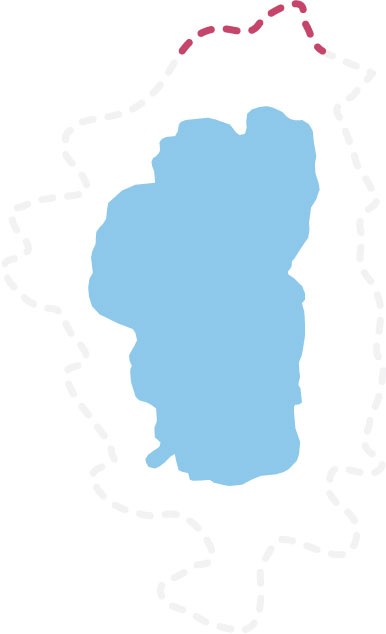
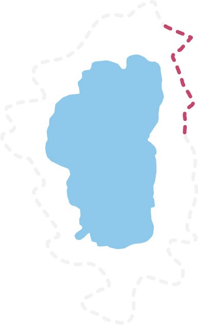

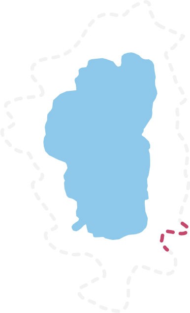
Major trailheads on both ends of this TRT segment access the trail via short connector trails. A long uphill climb connects the TRT to Van Sickle Park’
