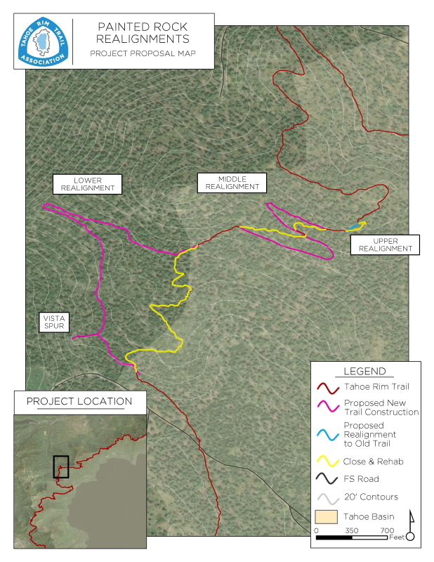
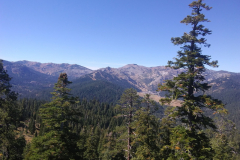
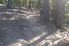
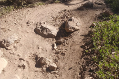
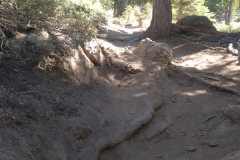
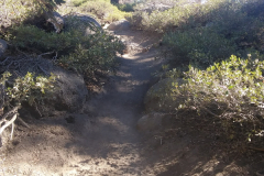
The existing trail in this area, about 3,600 feet of tread between the Painted Rock Vista and Forest Service road 16N53 (Deer Creek Road), is too steep and has become deeply eroded. Other sections have been rebuilt without authorization to create more bike-friendly flow that is difficult and dangerous for other trail user types. This approved project will construct approximately 6,000 feet of new trail to realign the Tahoe Rim Trail onto a trail designed to multi-use standards with sustainable grades and panoramic views, improving safety and mitigating environmental damage.
This project construction started in 2021.
The proposed realignment would replace three sections of existing trail: approximately 250 feet on the upper section, about 1,000 feet on the middle section, and approximately 2,400 feet on the lower section. This is a total of approximately 3,650 feet of existing trail that would be closed and restored. The lengths of the proposed realignments to bypass those three sections are approximately 180 feet on the upper section, approximately 2,100 feet on the middle section, and approximately 3,500 feet on the lower section. In addition, a vista trail of approximately 250 feet is also proposed. This is a total of approximately 6,030 feet of new trail construction. It should be noted that the upper section realignment is actually reclaiming the original realignment of the trail before unauthorized construction modified it.
The proposed realignments would be full bench construction at less than 8% grade, generally following the existing contour of the slope. There are three proposed turns. Each of these turns is located in an area where the grade of the cross slope is less than 15%. In these locations, slight modifications to the grade through excavation and construction of retaining walls might be utilized to facilitate a well-draining, sustainable turn. The proposed turn radius is 10 feet. The realignment routes traverse an open conifer forest interspersed with outcrops of volcanic rock. There are no water bodies or streams on or near the realignments, and the routes do not cross any significant drainages. There are no areas of highly technical construction through cliffs, large rocks, or other challenging geography, though adequate cross slopes are present to provide excellent drainage. The proposed realignments stay well within the borders of Forest Service owned property. The upper two realignments are on land managed by the Lake Tahoe Basin Management Unit. However, the lower realignment section leaves the Tahoe Basin and is primarily located on land managed by the Tahoe National Forest. The Tahoe Rim Trail Association can complete the construction of the reroute through the use of volunteer trail crews with minimal US Forest Service assistance, though hazard tree mitigation and other tree removal would be required.
Project Sponsor

Please Contact Us Here if you have an interest in sponsoring this project.
Volunteer On This Project
This project will be completed almost entirely through volunteer trail crews.
Please Contact Us Here if you would like to be added to the interest mailing list for this project.


 Early Bird Bonus!
 Don’t wait—[